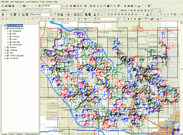
Digital Maps: GPS/GIS or Hand-digitizing
- ArcGIS by ESRI
- Produced by GPS/GIS data collection
- Can be customized to look like your current maps, but in color
- Can be integrated with your WindMil model to create a "Smart Map"
- Can be used by outage management systems to locate faults
- Can be exported as .pdf files (Adobe Acrobat Reader) so anyone can view, print, read or email them
- Can accept GPS data in x and y or latitude and longitude